Main Content
Habitat Mapping
The JC NERR maintains an updated habitat map of the reserve and its adjacent watershed boundaries to monitor landscape-scale changes over time. Habitat mapping and land use change data will help communicate both short-term variability and long-term changes to help inform coastal management and stewardship objectives at the Reserves.
The JC NERR is currently updating their habitat map.
Soundscape Ecology
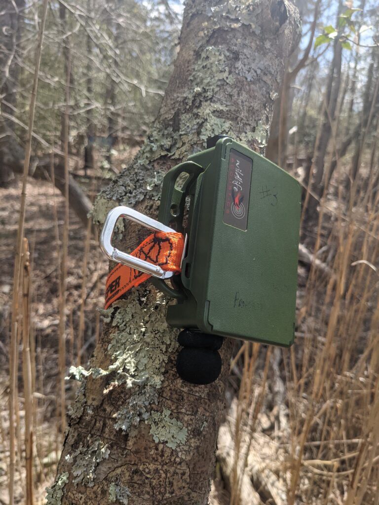
Soundscape ecology is the study of the entire acoustic community at any given location. Collecting baseline acoustic data provides information of the ecological status of the marsh, as several species can be detected as well as along anthropogenic and geophonic disturbances to the area. The patterns observed are used to establish a baseline that can be compared with other marshes facing the same stressors or to reference marshes nearby. This baseline data may also be useful for long term studies, as results in future years can be compared to the baseline results. The JC NERR is currently collecting baseline soundscape data in the Grassle Marsh in preparations for a habitat restoration project.
Marsh Migration
Our nation’s tidal wetlands are threatened by rising seas, stronger storms, more extreme precipitation, and drought. In order to persist, tidal wetlands will need to migrate inland in places that can accommodate them. Planning to protect them while addressing the needs of communities in a time of extraordinary change is a near universal challenge on the nation’s coasts.
Pathways to Resilience: Ensuring a Future for Tidal Wetlands is a Reserve-led initiative to collaborate with partners and communities to identify, protect, and manage the pathways through which wetlands can migrate as sea levels rise. Together, they are creating maps and acquiring the technical information needed to prioritize conservation and restoration projects that protect tidal wetlands into the future and make our communities safer. The team gratefully acknowledges the support of the National Fish and Wildlife Foundation’s America the Beautiful Challenge Program and the Pew Charitable Trusts.
Projects
Grassle Marsh Restoration
Overview
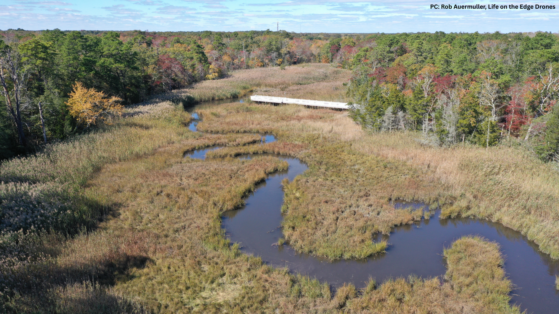
Grassle Marsh is a restricted tidal salt marsh historically dominated by native species of Spartina in Little Egg Harbor estuary in Tuckerton, New Jersey. The marsh is co-owned by the Jacques Cousteau National Estuarine Research Reserve at Rutgers University and the Ocean County Natural Lands Trust. The current project goal is to finalize engineering, project design, and permitting to improve the tidal connection between the Grassle Marsh and its contiguous parent marsh.
Quick Facts
Project Location: Grassle Marsh, 39.5939°N, -74.3474°W
Geographic Region: North America
Country: United States
City, State: Tuckerton, New Jersey
Zip Code: 08087
Ecosystem: Estuaries, Tidal Wetlands, Salt Marsh
Project Lead: Jacques Cousteau National Estuarine Research Reserve (JC NERR)
Project Details and Issue
Timeframe
Project stage: Ongoing, preliminary design
[Seeking funding for final design & permitting]
Start date: 05-2025
The Issue
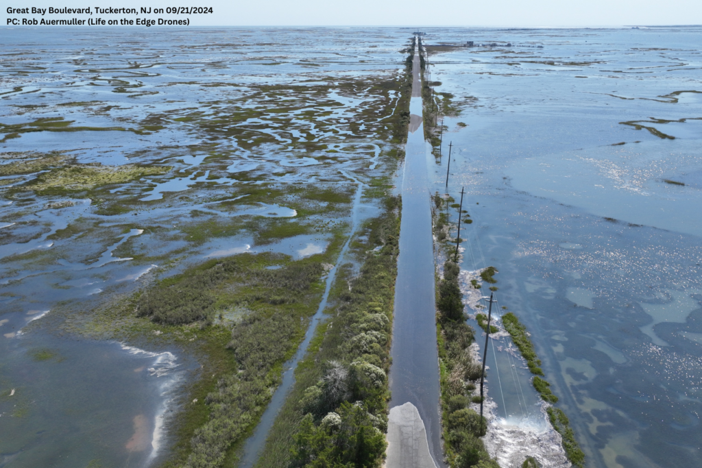
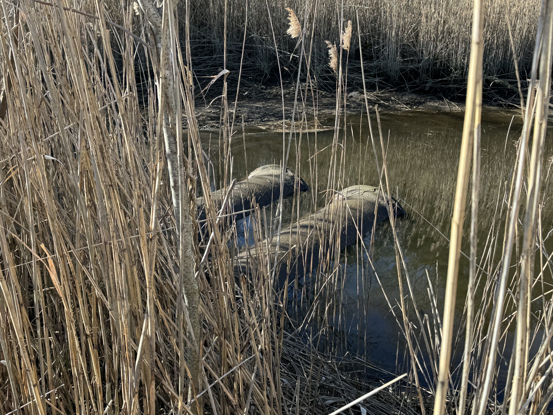
Two aging and undersized culverts that cross under Great Bay Boulevard in Tuckerton, New Jersey have restricted tidal flow from the JC NERR’s 15.43-acre Grassle Marsh to its contiguous parent marsh across the road at Sheepshead Meadows. This has allowed invasive marsh grass species Phragmites australis to outcompete native marsh grasses Spartina alterniflora and spartina patens.
Proposed Solution
This restoration project will have a multi-phased approach. The preliminary design proposes replacing the two 42” culverts with a larger box culvert. Phragmites removal methods and native marsh grass plantings will also be explored.
Restoration Project Goals
Restoration will increase tidal flow between the two water bodies and thus increase sediment dispersal, support regrowth of native marsh flora, and suppress growth of Phragmites australis. The new culvert will also be equipped with infrastructure to enhance safer passage of marine and terrestrial animals and habitat connectivity under Great Bay Boulevard.
The marsh also provides natural resilience benefits to the local community, and maintaining its health will increase its ability to serve as a buffer for flooding and storm surges in the future. This project will also serve as a model for tidal culvert replacement throughout New Jersey and help inform adaptive management practices within the NERR System.
Partners
- Ocean County Planning Office
- Tuckerton Borough
- Little Egg Harbor Township
- Project Terrapin
Completed Activities
- Coordination with Colliers Engineering and Design to complete all preliminary restoration design tasks.
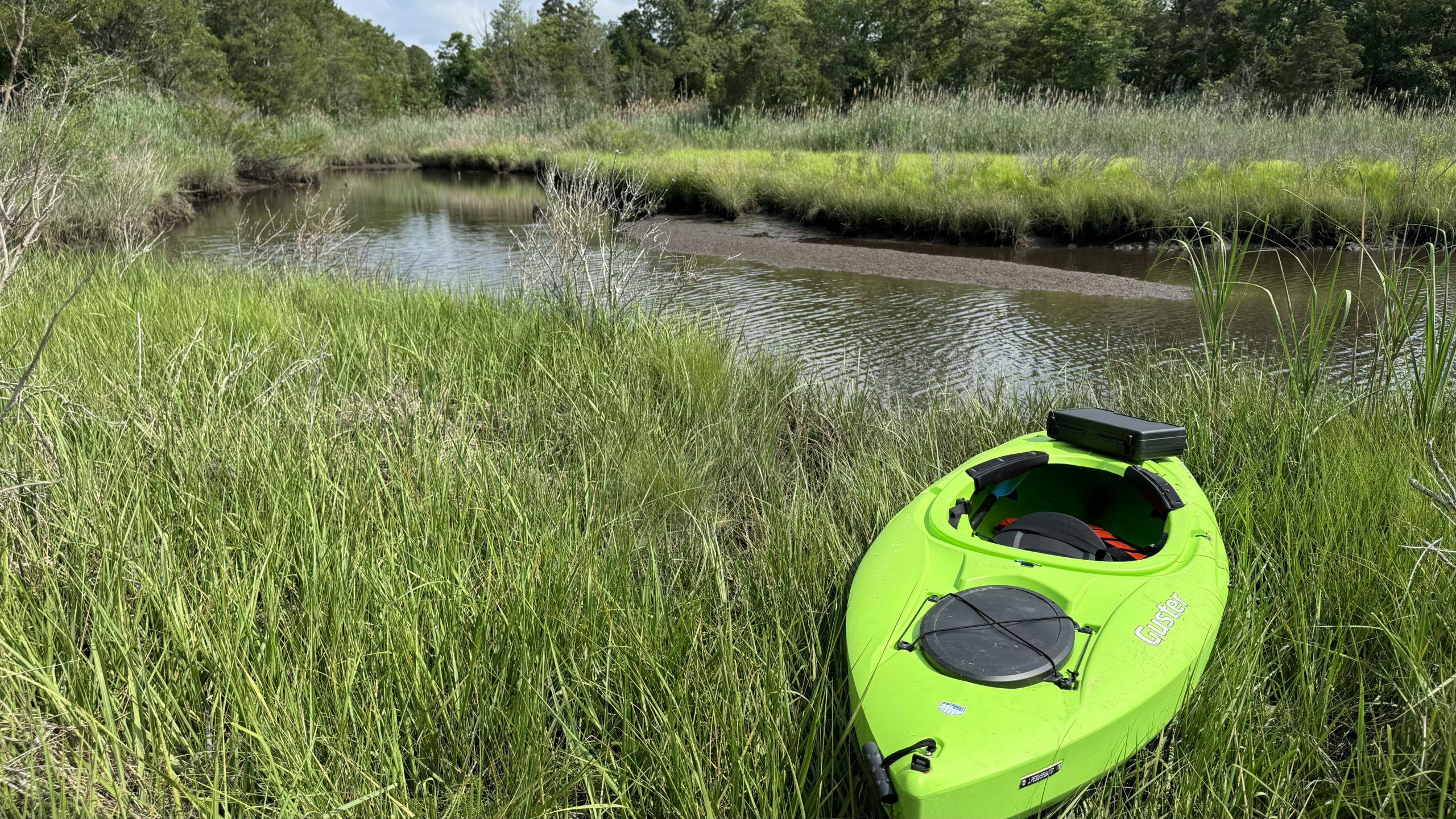
- Monthly pre-restoration monitoring surveys utilizing Onset HOBO conductivity and water level loggers to assess the water level, temperature, and salinity on either side of the culverts.
- Implementation of Grassle Marsh User Trail Survey to gauge the needs of Grassle Marsh Trail users, support for the restoration, and knowledge of habitat restoration techniques.
Future Objectives
- Secure funding for final design and permitting to complete structural and engineering designs and permitting plan for restoration.
- Develop a Community Outreach and Engagement Plan informed by the Grassle Marsh User Trail Survey responses.
- Host community feedback sessions to facilitate community engagement in decision-making on the final design and planning of the Grassle Marsh restoration.
- Continue collecting baseline data.
- Develop a Pre-and-Post Restoration Monitoring Plan.
Get Involved
Stay tuned for community feedback sessions and volunteer plantings at the JC NERR!
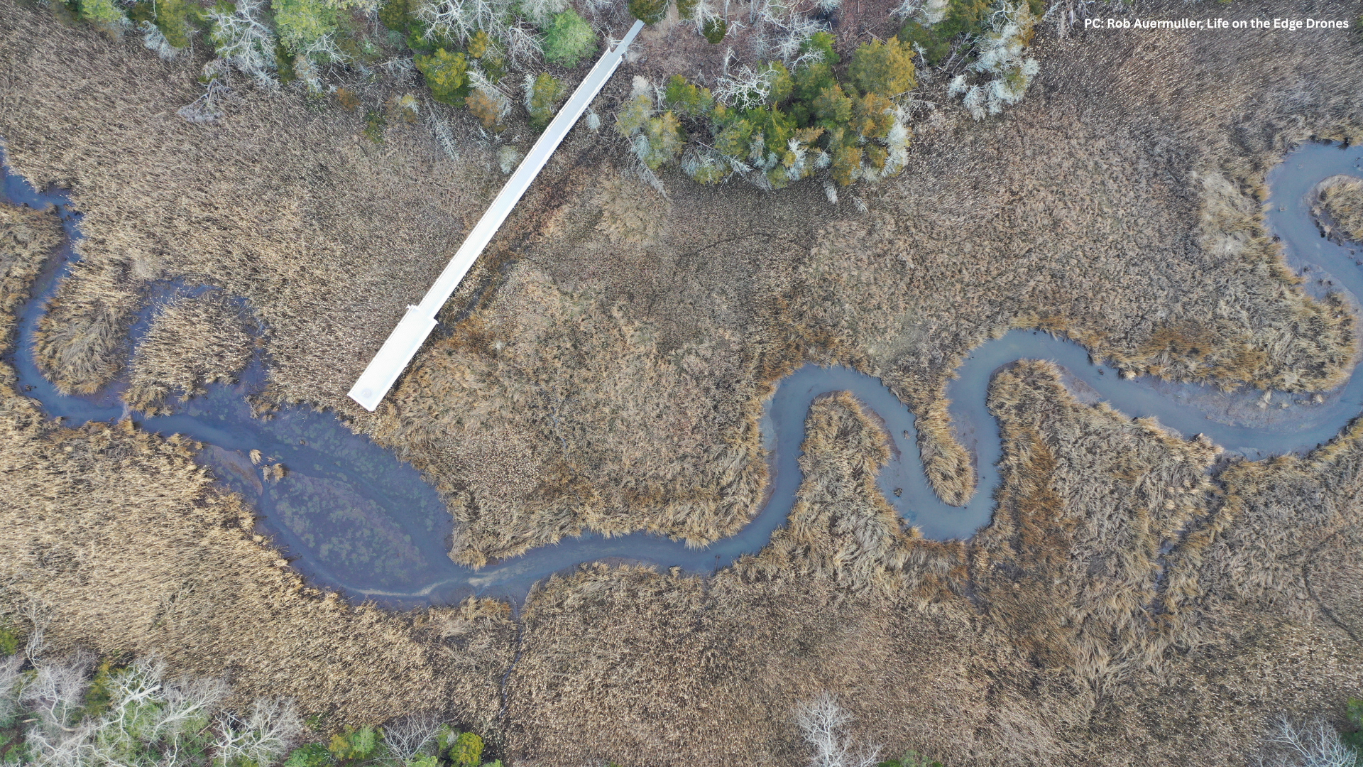
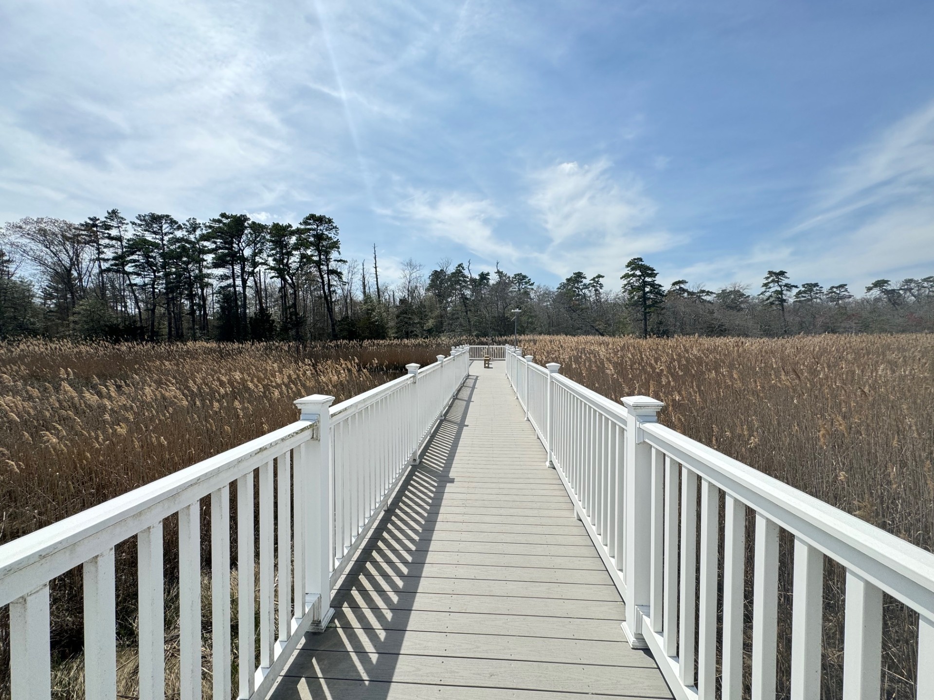
In the meantime, make sure to visit our Grassle Marsh Trail and complete a Grassle Marsh User Trail Survey on your way in or out. The survey is available at the trailhead or via QR code.
Other Projects
NERRS Landscape Scale Resilience
An innovative assessment that ranks resilience according to metrics of current marsh conditions, vulnerability to sea level rise, and potential for adaptation—critical information for efforts to conserve, restore, or study these habitats around the country. Learn more about the NERRS Landscape Scale Resilience project here! You can also check out the JC NERR Fact Sheet here!
History and Topography to Improve Decision-making for Estuary Restoration
Estuaries are subject to change. Where have they been, where are they now, and where may they be in the future? How have their habitats changed over time? A team led by the National Estuarine Research Reserve System (NERRS) explored those questions in 30 estuaries around the country. This study found regional differences in how estuaries have changed since the 1800s. The elevation-based mapping and historical mapping techniques used were effective across the wide range of geographies represented by the Reserve System, illustrating their usefulness in future studies anywhere in the world. Learn more about this history and typography project here!
View the JC NERR Project Map here!
NJDEP Public Access and Sea Level Rise
The New Jersey Department of Environmental Protection directed a team from Rutgers University to assess flood risk at public access points in 15 municipalities across New Jersey’s diverse coastal regions. View the StoryMap generated from this project here!
Coastal Geomorphology
Dr. Norbert Psuty , Rutgers University Professor Emeritus, and his team work with the National Park Service Northeast Coastal and Barrier Network the US Fish and Wildlife Region 5 to monitor coastal topography changes in parks and refuges. They are tracking shoreline position, and coastal topography as vital signs of habitat resilience. Understanding the conditions and impact responses of coastal landforms are crucial to managing climate adaptation.
For GIS data about the JC NERR, please contact Andrea Habeck at habeck@marine.rutgers.edu and visit the NERRS Centralized Data Management Office.