Main Content
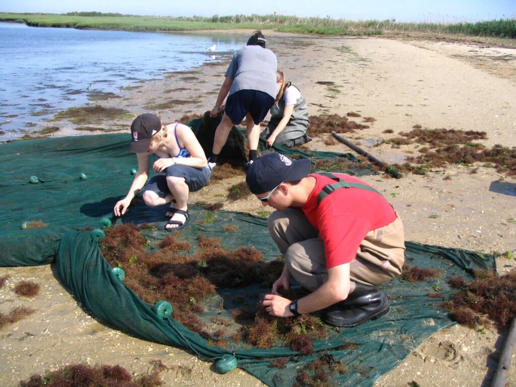
Independent research is encouraged in the Reserve. There are no NERR-specific regulations governing the pursuit of independent research in the reserve boundaries. However, working in the Reserve provides a number of benefits to researchers, such as access to field facilities, long-term monitoring datasets, and technical assistance; and may provide broader relevance and impact to other projects. If you are doing or plan to do research in the JCNERR, please contact Thomas Grothues, the JC NERR Research Coordinator, at grothues@marine.rutgers.edu to maximize benefits and minimize the potential for conflicts.
Research funding is occasionally available for work specifically within or across reserves. Click here to view opportunities through NERRS Science Collaborative and the Margaret A. Davidson Fellowship program.
What is the difference between research and monitoring?
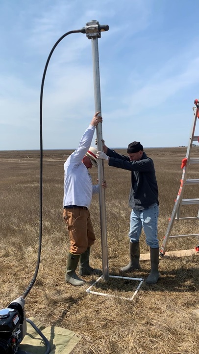
Research seeks to answer specific questions that either challenge a currently held belief about how something works or behaves, or seeks to find a quantity or rate (e.g. how much of something is there, how fast something is changing). Monitoring is observation without the bias of a question and is essential to the process of discovery by allowing us to detect patterns that we did not know we should be asking about. We can then formulate hypotheses and test them with Research. Monitoring can have an overall question driven goal, (e.g. is anything changing?) and is usually about time-scales rather than static spatial differences. Monitoring programs are often set up to be able to detect unanticipated or unplanned episodic events or long term, slow gradual change. Research and Monitoring meet when long term change is being specifically investigated, but the mechanisms of it or response to it are as yet too difficult to discern or address in dedicated short-term experiments.
| Monitoring | Research |
|---|---|
| Collect and catalogue fish larvae over time. Measure water temperature, salinity, rainfall over time. Measure the frequency and strength of storms over time. | Test: A change in temperature does not line up with a change in what fish larvae types occur. Test: Storm strength and frequency do not change larval fish occurrence (abundance or type) |
| Catalogue salt marsh plant species and density over time. Measure sea level over time. | Test: Plant density and type is staying the same even if sea level is going up or down. Test: Change in plant community responds the same to episodic flooding as to gradual increase and depth of tidal inundation. |
| Measure wind speed and direction over time. Measure dissolved oxygen in water over time. Measure nutrient content over time. | Test: A gradual change in dissolved oxygen with occasion spikes is noted. Is that more likely to be a function of change in wind mixing the bottom (low oxygen) and surface water, or of more nutrients increasing algal and bacterial growth? |
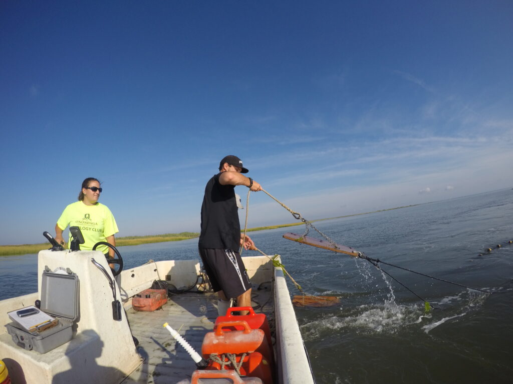
Long-Term Monitoring
Learn more about the long-term monitoring efforts happening across the Reserve!
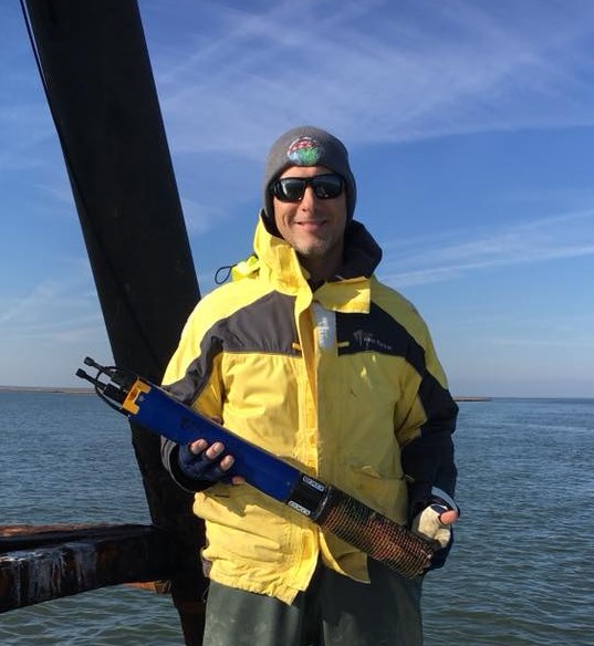
System-Wide Monitoring Program (SWMP)
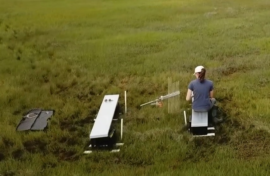
The NERRS System-Wide Monitoring Program (SWMP) consists of permanent water-quality and meteorological stations across 30 reserves, continuously monitoring conditions like salinity and weather at 15-minute intervals, with monthly nutrient sampling to assess correlations between water quality and environmental factors. Learn more here!
Stewardship
Protecting estuaries is vital for the NERRS. The reserves manage nearly 1.4 million acres through active stewardship, addressing both site-specific and network-wide coastal management issues.
Coastal Exploration Program
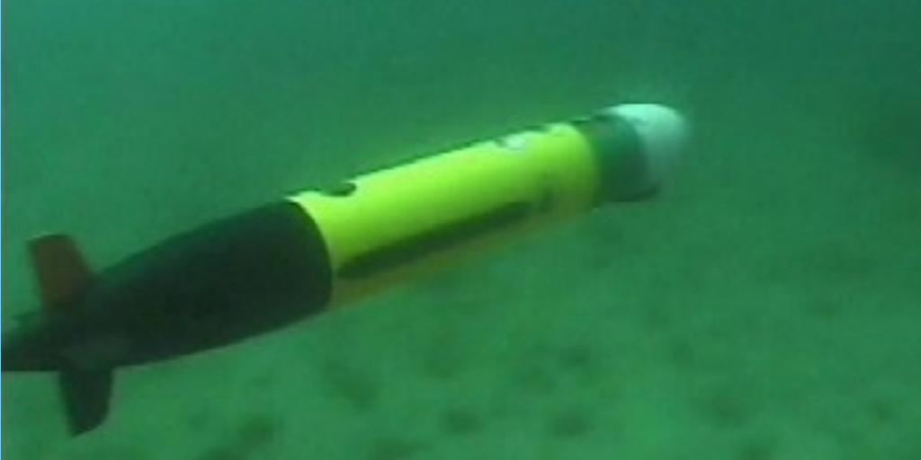
Learn more about our efforts in mapping submerged habitats to complement existing reserve profiles and study estuarine processes like sediment transport and habitat use. These initiatives include the use of both an autonomous underwater vehicle (AUV) and an autonomous surface vehicle (ASV).
